Drone Photogrammetry
The information obtained from aerial photogrammetry can be used to design
and plan the development of the site, including the placement of buildings, roads, and utilities.
The information obtained from aerial photogrammetry can be used to design
and plan the development of the site, including the placement of buildings, roads, and utilities.

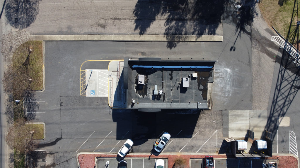
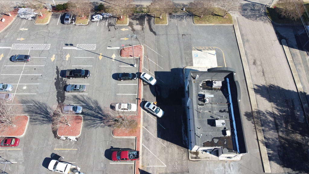
Aerial photography provides a bird's-eye view of the site and can be used
to create accurate and detailed maps, digital terrain models, and 3D models of the site.

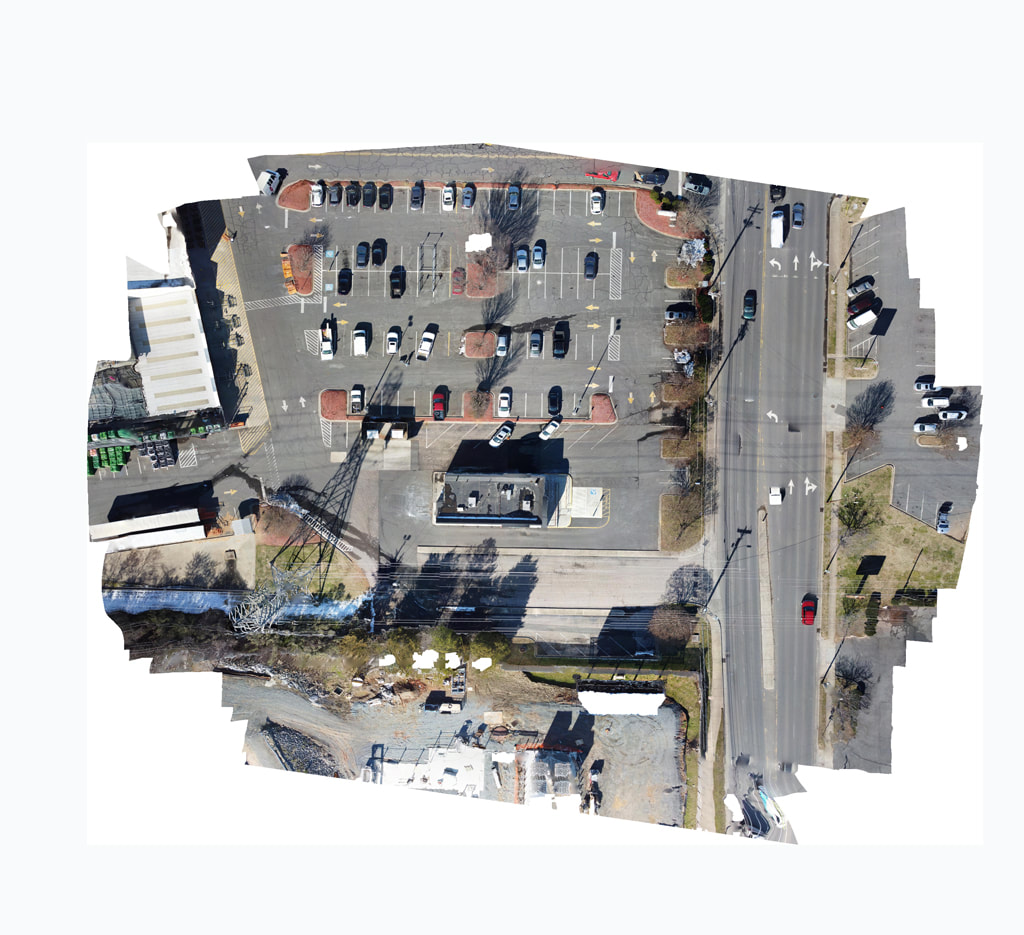
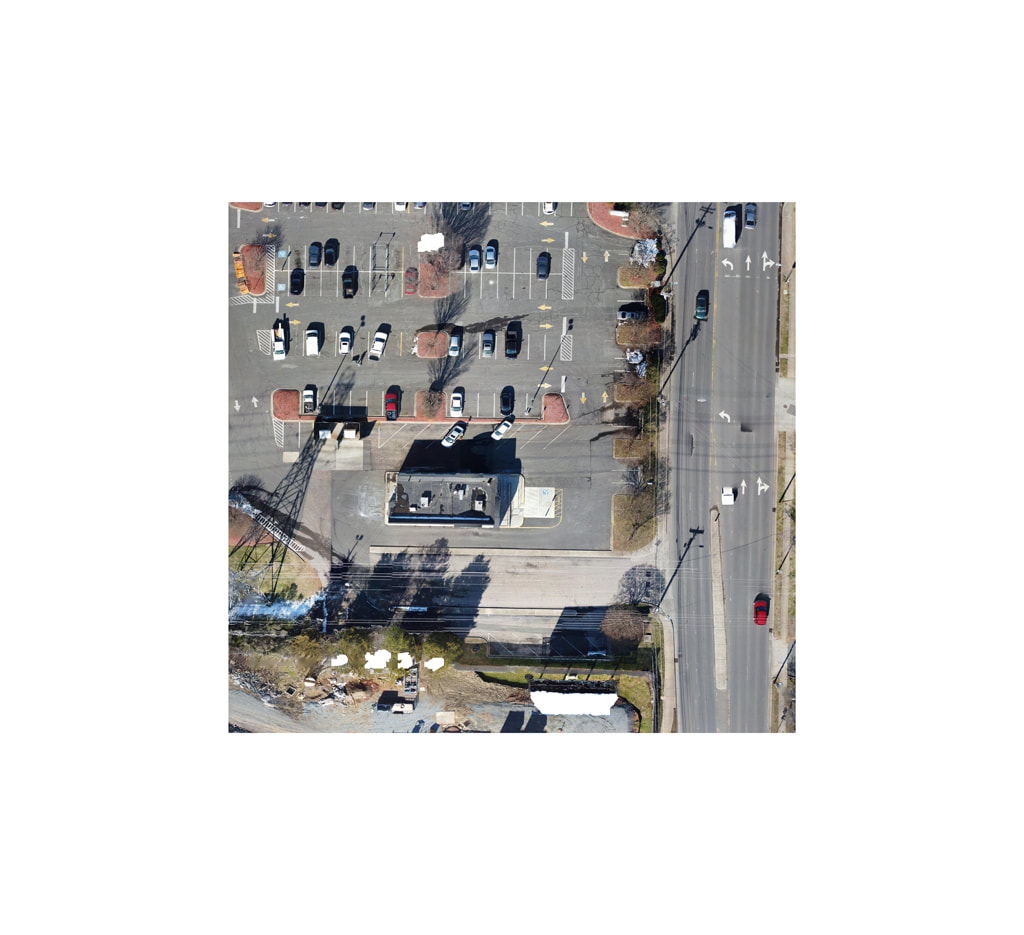
The orthophotos generated are stitched together to create a
seamless mosaic, covering the entire area of interest.
Creating an accurate and detailed site plan as-built requires the use of the right tools.
Depending on your specific needs, we have several options available
Depending on your specific needs, we have several options available
Each of these tools offers unique benefits and can help ensure that
the site plan as-built accurately reflect the current conditions of the construction site.
the site plan as-built accurately reflect the current conditions of the construction site.
For any questions or inquiries, please visit our Contact Us page for full details on how to get in touch with us.